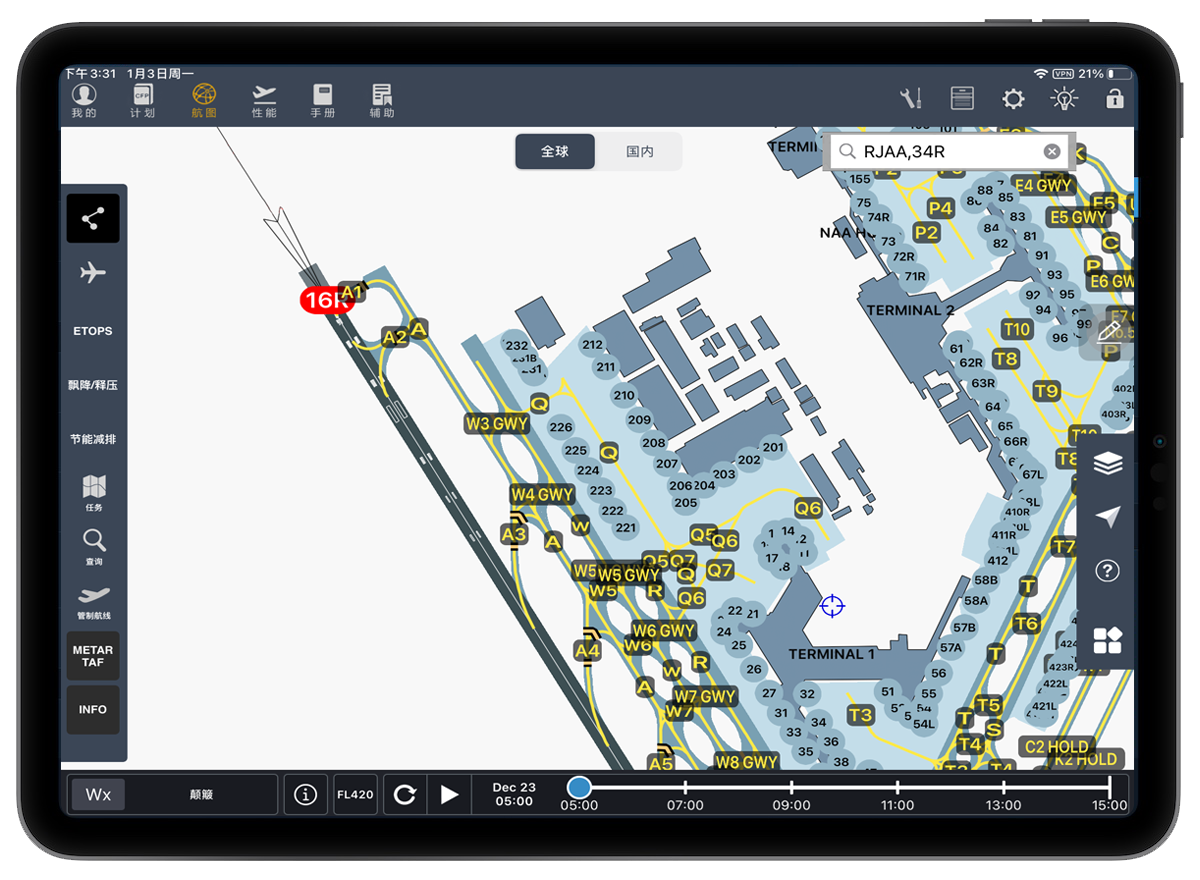
Main Functions
Airport Moving Maps contains map vector data of all facilities in the airports. The data is produced based on satellite images, official NAIP/AIP data, and NOTAM. Truly describe space layout and status of airport elements (Airport Runway, Taxiway, Apron, Terminal, Parking stand, etc.) It can be widely applied to various use cases such as ATC, taxiing, dispatch, etc. At present, it covers all major Chinese airports and international airports in Japan, South Korea, Singapore and other Asian countries, and will gradually be online in the future according to user needs. Refer to aips.guilincasc.com/#/nav-map。

Clients
Currently Airport Moving Maps Data has been officially used in CAAC East China Regional Administration, Shandong Airlines, Juneyao Airlines, Air Longhao, and 16 airlines are in the trial phase including Air China, China Southern Airlines, Xiamen Airlines, and etc.

